Pleasanton
Pleasanton: Stony Brook Lane Map
Pleasanton: Valley Ave. area Map

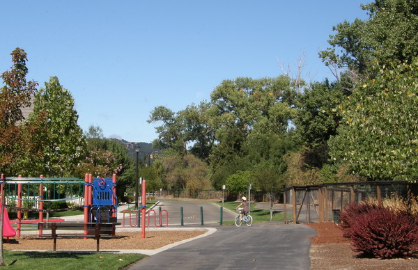
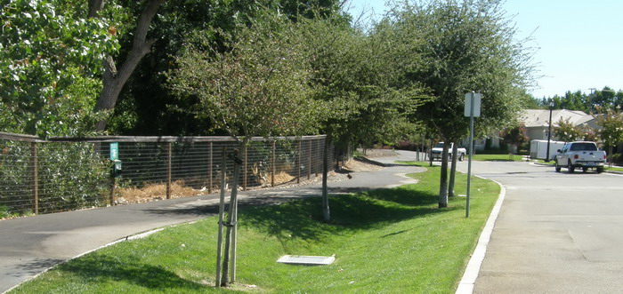
In Pleasanton, a swale edging the trail between homes on Stony Brook Lane and Arroyo Valle helps keep pollutants out of the wooded creek (right above, left below).

In Pleasanton near Valley Avenue south of Bernal Avenue, below, subdivisions with curbs on only one side of the street send runoff to Pleasanton’s detention ponds. Some flows via swales (left, with high-flow inlet). Flow through the swales or overland reduces pollution and allows water to filter into soil.


